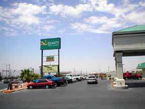
El Paso International Airport Maps and Directions
El Paso International Airport Map
El Paso Area Map
Maps and Directions
Interstate 10 is the main highway, which provides access to El Paso and Ciudad Juarez. The El Paso Airport is located 3 miles north of Interstate 10, five miles northeast of downtown El Paso, and thirty nine miles southeast of Interstate 25.
Featured Hotels


