Jacksonville International Airport Maps and Directions
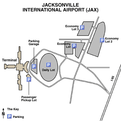
Jacksonville International Airport Map

Jacksonville Area Map

Maps and Directions
Driving Directions
The Jacksonville Airport is located about 18 miles north of downtown Jacksonville, Florida, and one mile west of Interstate 95 (exit 363-B).
From Gainesville
Take US 301 North until Interstate 10 East. Take Interstate 295 North to Interstate 95 North to exit 363-B. Now follow Airport Road to the Jacksonville Airport.
From St Augustine
Take Interstate 95 North to exit 363-B. Now follow Airport Road to the Jacksonville Airport.
From Tallahassee
Take Interstate 10 East to Interstate 295 North. Then take Interstate 95 North to exit 363-B.
Now follow Airport Road to the Jacksonville Airport.
From Georgia
Take Interstate 95 South to exit 363. Now follow Airport Road to the Jacksonville Airport.
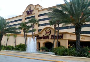
Featured Hotels


