Reno Tahoe International Airport Maps and Directions
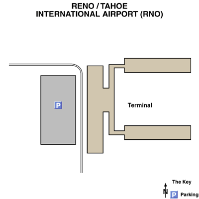
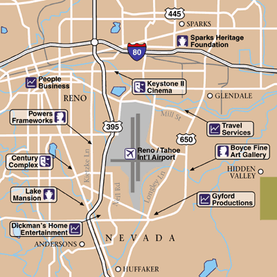
Maps and Directions
Driving Directions
The Reno / Tahoe International Airport is a ten-minute drive from Reno, Nevada. The airport is located 4 miles (6.5 kilometers) from the city of Reno.
From Northern California via US Highway 395 (Susanville, Alturas):
Take US Highway 395 South to Reno / Tahoe International Airport Exit
From the East via Interstate 80 (Salt Lake City, Elko):
Take Interstate 80 west to US Highway 395 South to airport exit
From the South via US Highway 395 (Carson City, NV side of Lake Tahoe):
Take US Highway 395 North to airport exit.
From the West via Interstate 80 (California Bay Area, Sacramento):
Take Interstate 80 east to US Highway 395 South to airport exit.
From Downtown Reno:
Take South Virginia south to Plumb Lane go East and arrive at airport.
From Downtown Sparks:
Interstate 80 west to US Highway 395 South to airport exit.


