São Paulo Guarulhos International Airport Maps and Directions
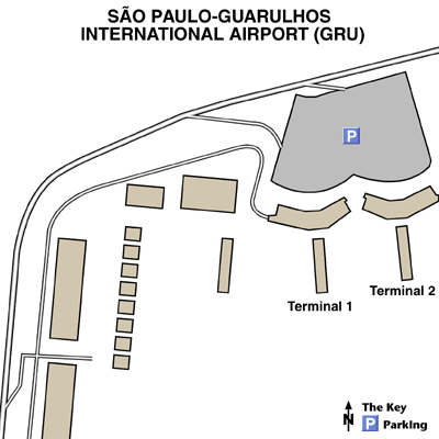
São Paulo Guarulhos International Airport Map

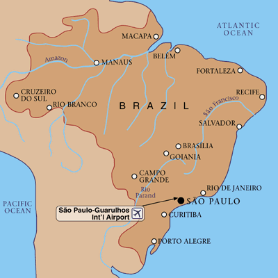
São Paulo Area Map

Driving Directions
The São Paulo-Guarulhos International Airport is located 25 km (18 miles) northeast of São Paulo, Brazil. The São Paulo-Guarulhos International Airport is easily accessible through the Ayrton Senna highway or through the Presidente Dutra highway.
The São Paulo-Guarulhos International Airport is also situated in close proximity to the Sao Paulo's Congonhas Airport, which is located 05 miles/08 km away from downtown Sao Paulo.
Featured Hotels


